File:ATT Town Area Aerial Map.jpg
Jump to navigation
Jump to search

Size of this preview: 800 × 600 pixels. Other resolutions: 320 × 240 pixels | 1,200 × 900 pixels.
Original file (1,200 × 900 pixels, file size: 1.04 MB, MIME type: image/jpeg)
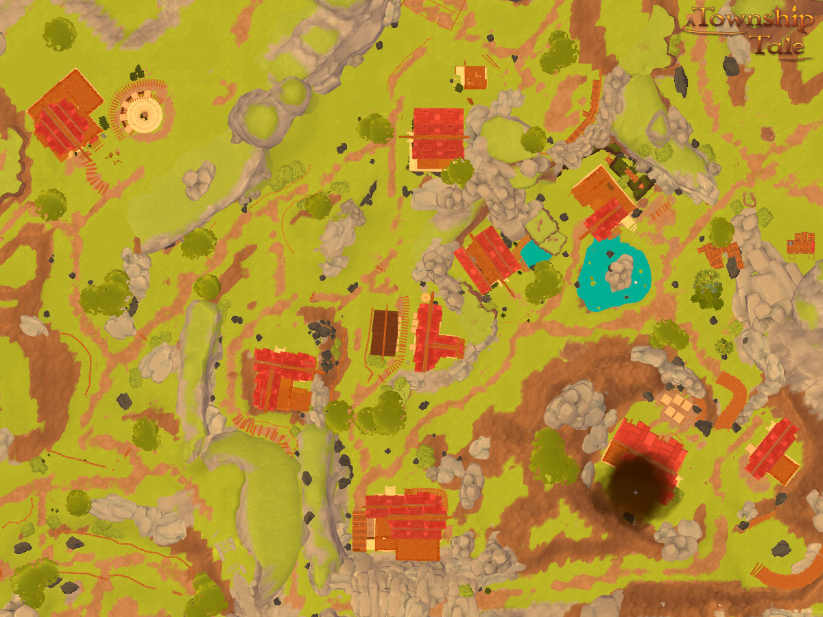
An aerial map of the town area showing all of the main buildings.
File history
Click on a date/time to view the file as it appeared at that time.
| Date/Time | Thumbnail | Dimensions | User | Comment | |
|---|---|---|---|---|---|
| current | 03:25, 30 December 2020 | | 1,200 × 900 (1.04 MB) | TheRealMatite (talk | contribs) |
You cannot overwrite this file.
File usage
The following page uses this file: